Ukraine Digital Map is openly available
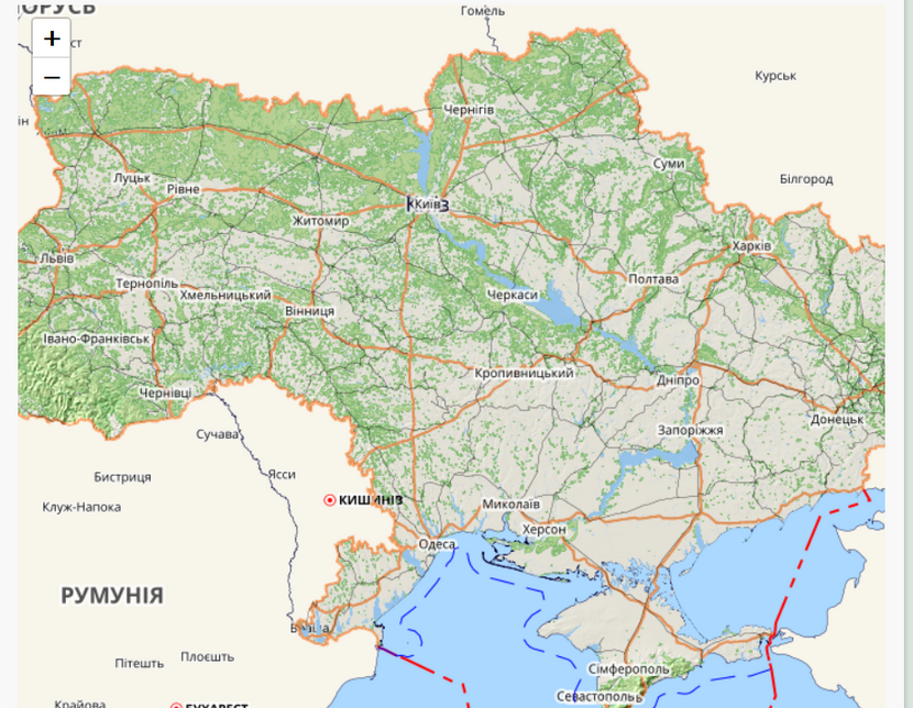
The State Geocadastre opens free access to a 1:100,000 digital map with the register of geographical names. Everyone can use it: from ordinary citizens to government, economy and education. It will be helpful to solve the issues of planning and use of natural resources, economic development of the territory, design of large industrial complexes, navigation, etc. More importantly, it can be used as the basis for the creation of geoinformation systems, special, thematic and other maps and plans, development of National Geospatial Infrastructure nationwide data.
The map contains information about the administrative and territorial structure of all levels:
level 1 - Autonomous Republic of Crimea, oblasts, cities with special status (Kyiv and Sevastopol);
level 2 - districts and cities of regional importance, districts in cities with special status;
level 3 - boundaries of united territorial communities;
level 4 - boundaries of city, town and village councils;
level 5 - the boundaries of settlements.
The interface is in Ukrainian. Підключення топографічної карти
http://gki.com.ua/access_map_100k